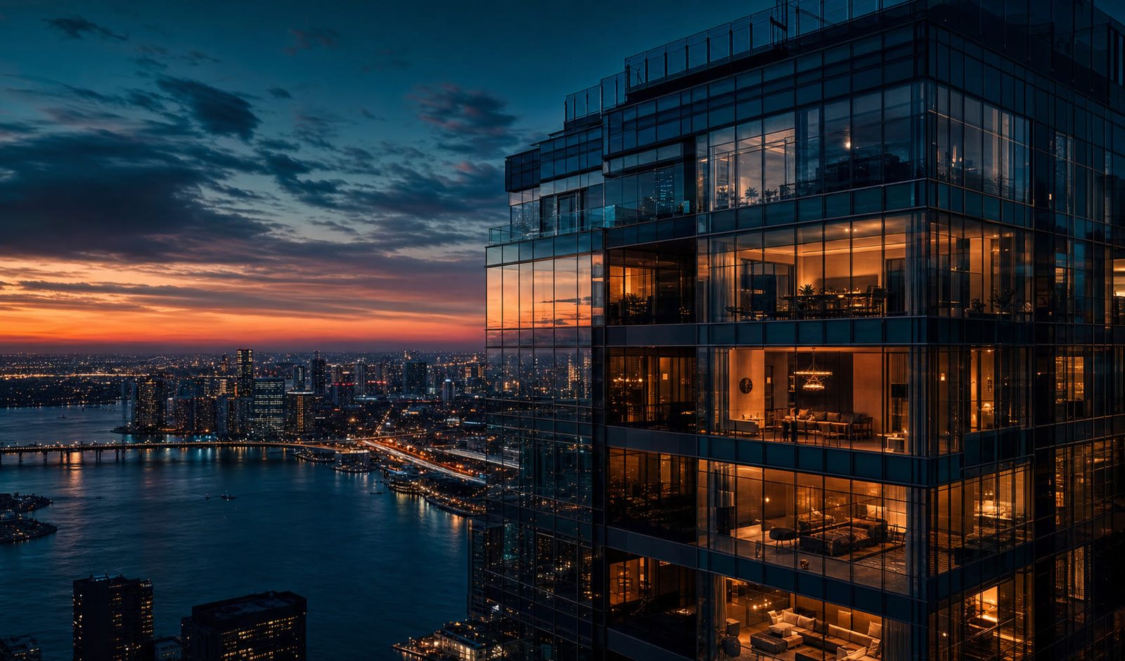
Aerial imaging, surveying, inspection, thermal and cinematic. One flight, every deliverable.
Real estate. Construction. Brand. Inspection. — Captured from the only vantage point that matters. Trained pilots, broadcast-grade sensors, same-day turnaround across Metro Manila.
Seven services across four categories. One aerial operator.
From listing reels and FPV cinematics to survey-grade mapping, thermal inspection, and construction monitoring — planned, flown, and delivered by the same crew.
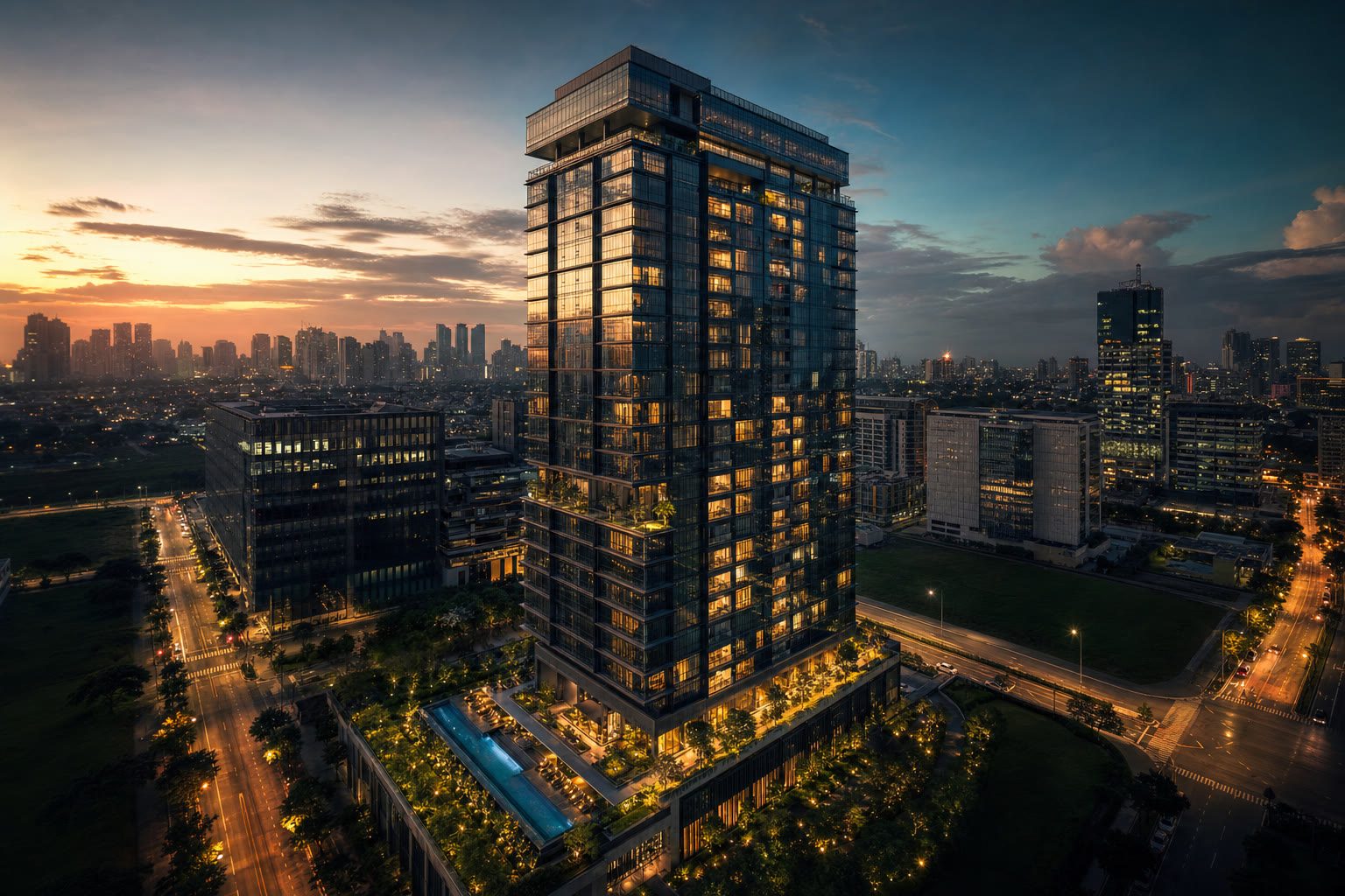
Aerial photography & videography
Broadcast-grade stills and 4K/60fps aerial video for real estate, brand campaigns, hospitality, and marketing — graded to your palette.
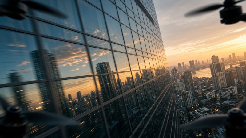
FPV cinematic videography
First-person-view cinematography for high-energy reveals, dive shots, and immersive fly-throughs no gimbal drone can capture.
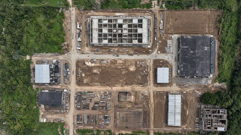
Drone survey & mapping
RTK-precision orthomosaic, 3D terrain, contour, topographic, and volumetric survey deliverables for planning and engineering.
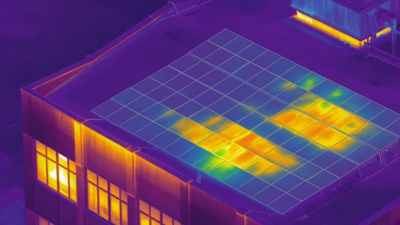
Thermal inspection
Radiometric thermal imaging for solar arrays, electrical assets, tower and facade heat loss, and industrial anomaly detection.
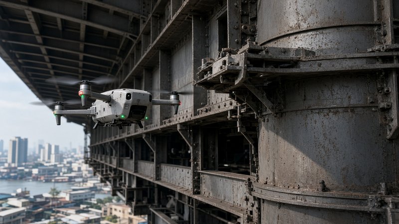
Engineering & industrial inspection
Close-range visual inspection of bridges, wind turbines, cell towers, power lines, refineries, and facades — without rope access.
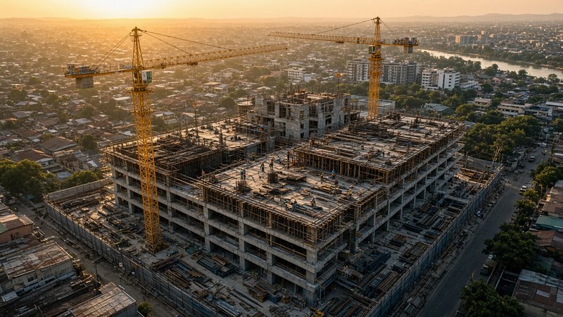
Construction monitoring
Scheduled fly-overs that document every pour, lift, and milestone — deliverables for owners, contractors, and lenders.
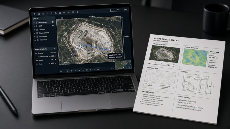
Professional deliverables
PDF inspection reports, GIS-ready survey data, graded reels and stills — every output engineered for the receiving stakeholder.
Every asset worth seeing from above.
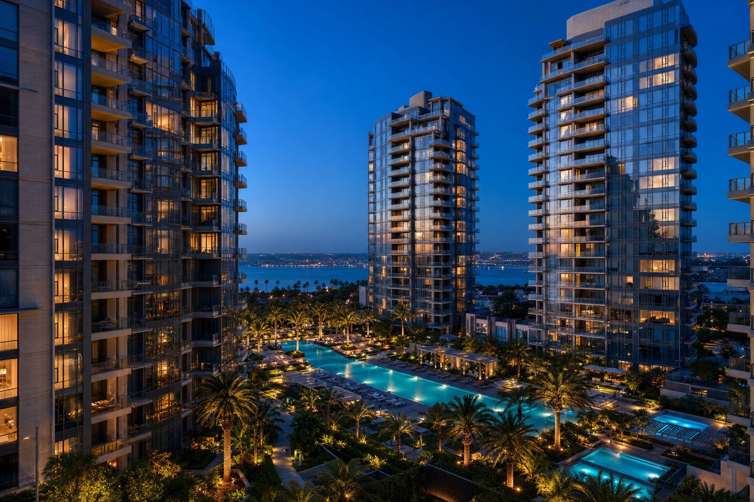
Real Estate Developments
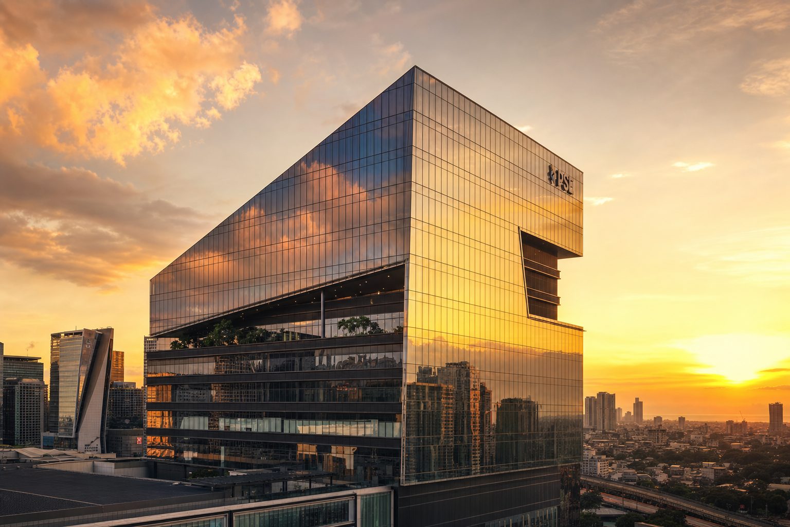
Construction & Contractors
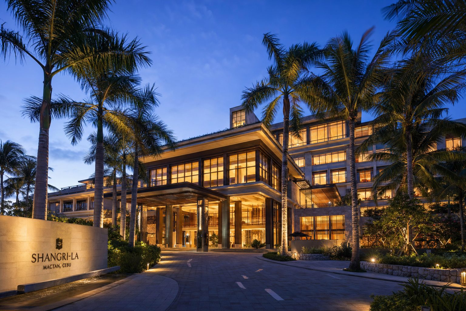
Hotels, Brands & Hospitality
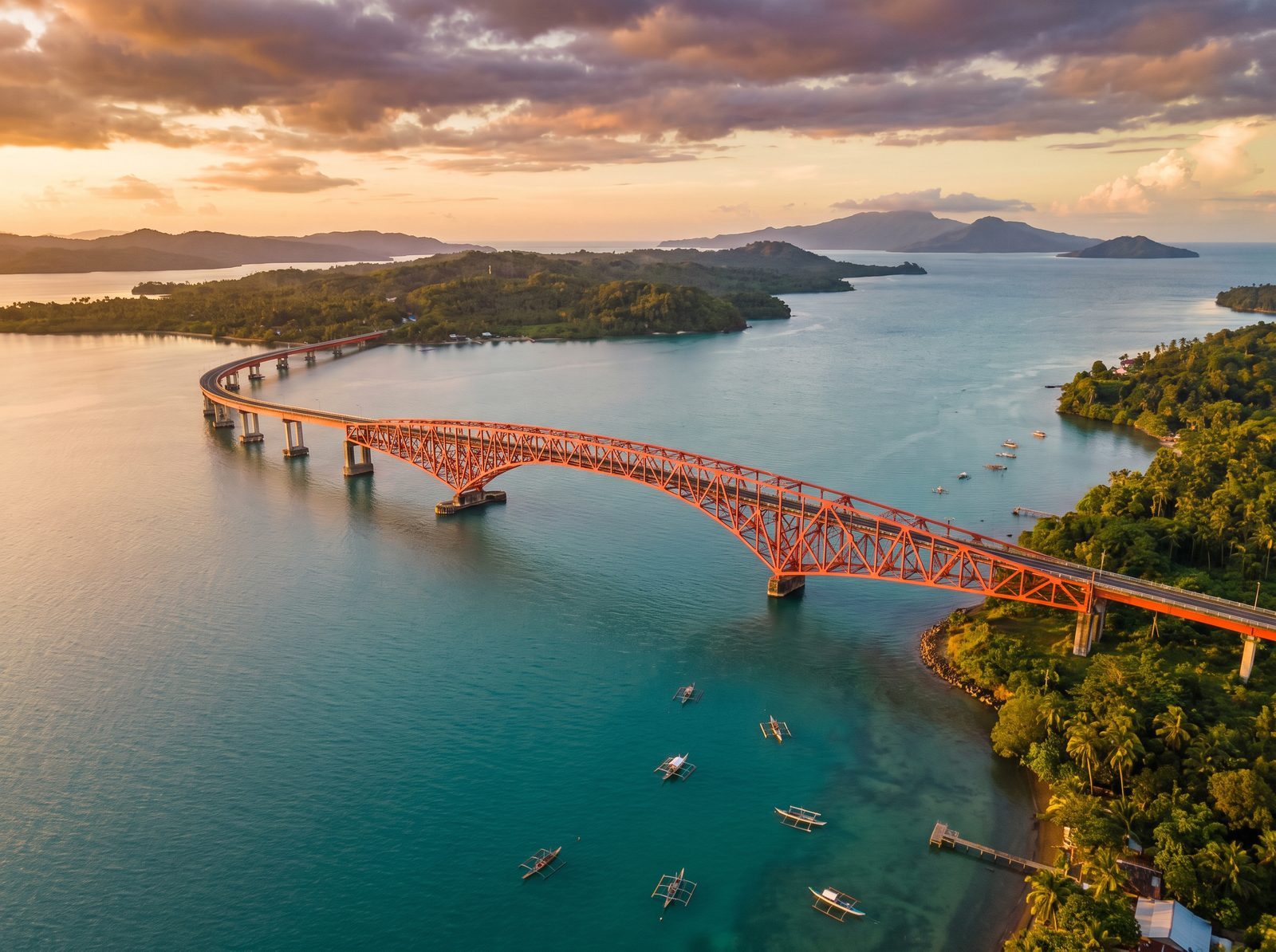
Infrastructure & Utilities
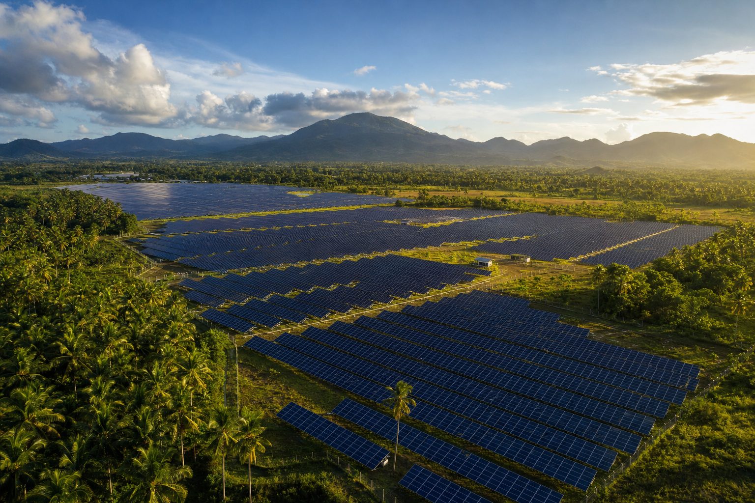
Solar & Energy Assets
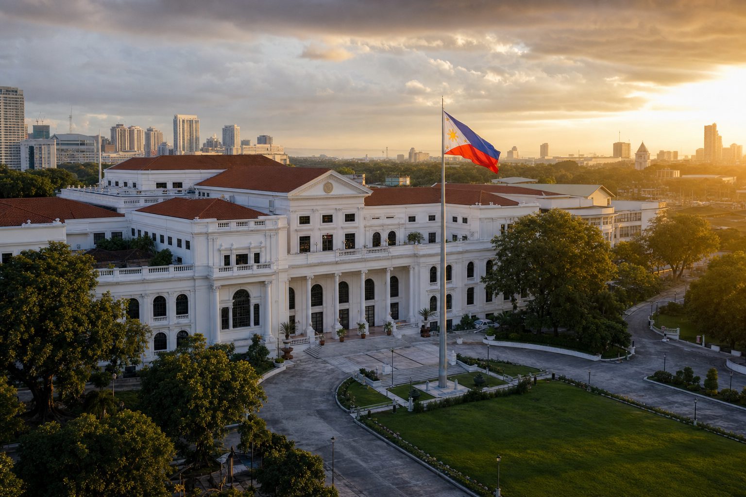
Government & LGUs
Altitude is an angle no crane can reach.
The decisive frame almost always sits between thirty and one hundred and sixty meters — too high for a jib, too low and too expensive for a helicopter, and impossible from the street.
Too high for a jib
Cranes, jibs and road permits take half a day to set up and still cannot hold the establishing frame.
Too expensive for a helicopter
A helicopter charter buys minutes of altitude at a cost that no listing reel or inspection budget carries.
Impossible from the street
Context, scale and the relationship between a project and its skyline cannot be read from the ground.
Days of post and re-shoots
Missed angles mean re-shoots. A documented flight plan captures the shot list once.
Our aerial fleet — certified DJI airframes.
A calibrated stack of enterprise and cinema-grade DJI aircraft — the right sensor and airframe for every survey, inspection, and cinematic brief. Each card lists what that airframe is best for.
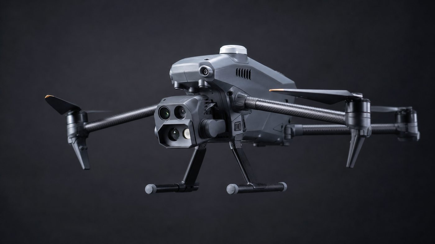
DJI Matrice 4TD w/ RTK
Thermal, wide, and zoom payload for engineering inspection and low-light operations with survey-grade positioning.
Best for
- Thermal roof and facade inspection
- Solar array anomaly detection
- Night and low-light operations
- RTK-referenced inspection records
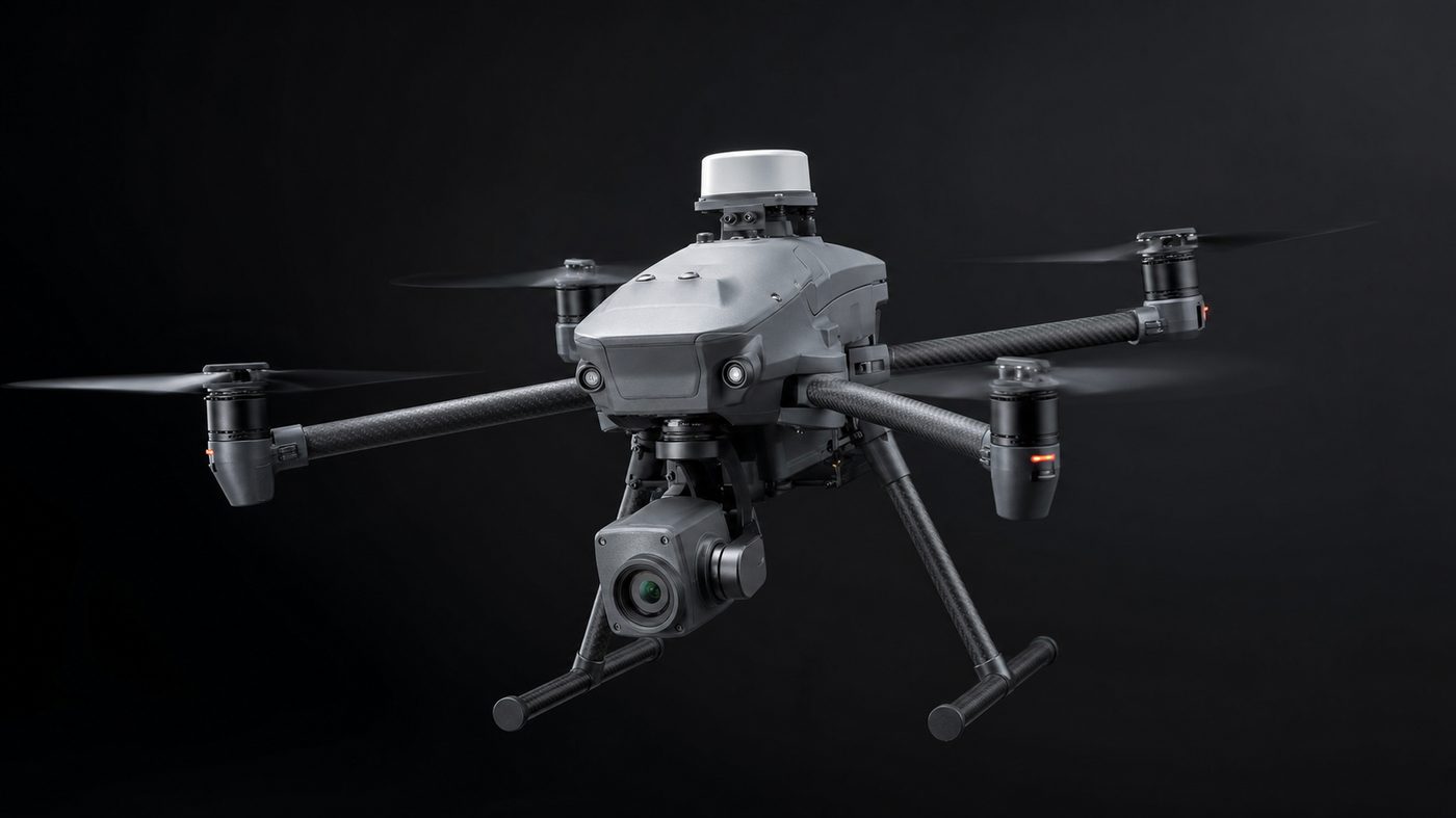
DJI Matrice 4E
Enterprise mapping airframe for orthomosaic, 3D, and volumetric survey deliverables at RTK precision.
Best for
- Orthomosaic and topographic survey
- 3D terrain and volumetric measurement
- Construction progress mapping
- GIS-ready deliverables
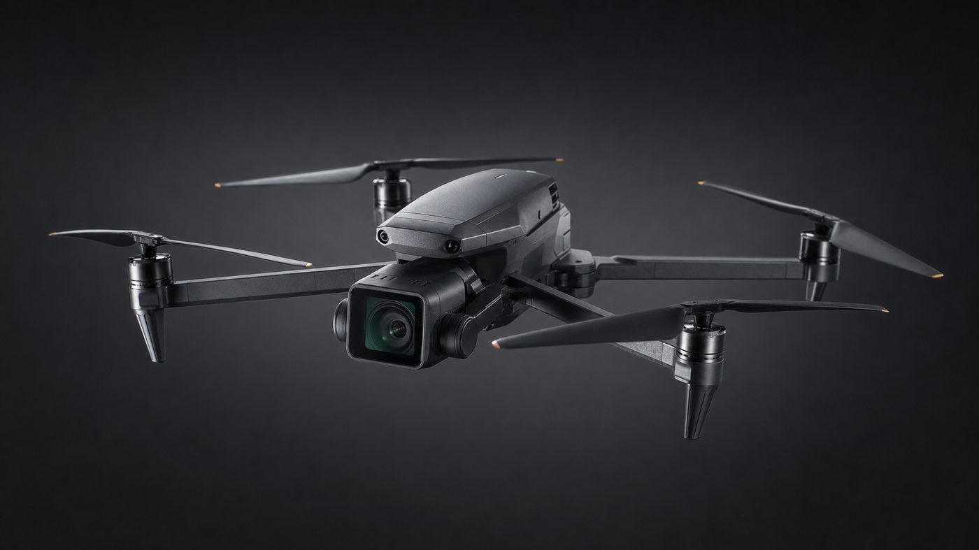
DJI Mavic 4 Pro
Flagship cinema drone — 4/3 CMOS Hasselblad camera, 100 MP stills, 6K/60 video for premium brand and property films.
Best for
- Premium brand and property films
- 100 MP marketing stills
- 6K/60 hero footage
- Hospitality and real estate reels
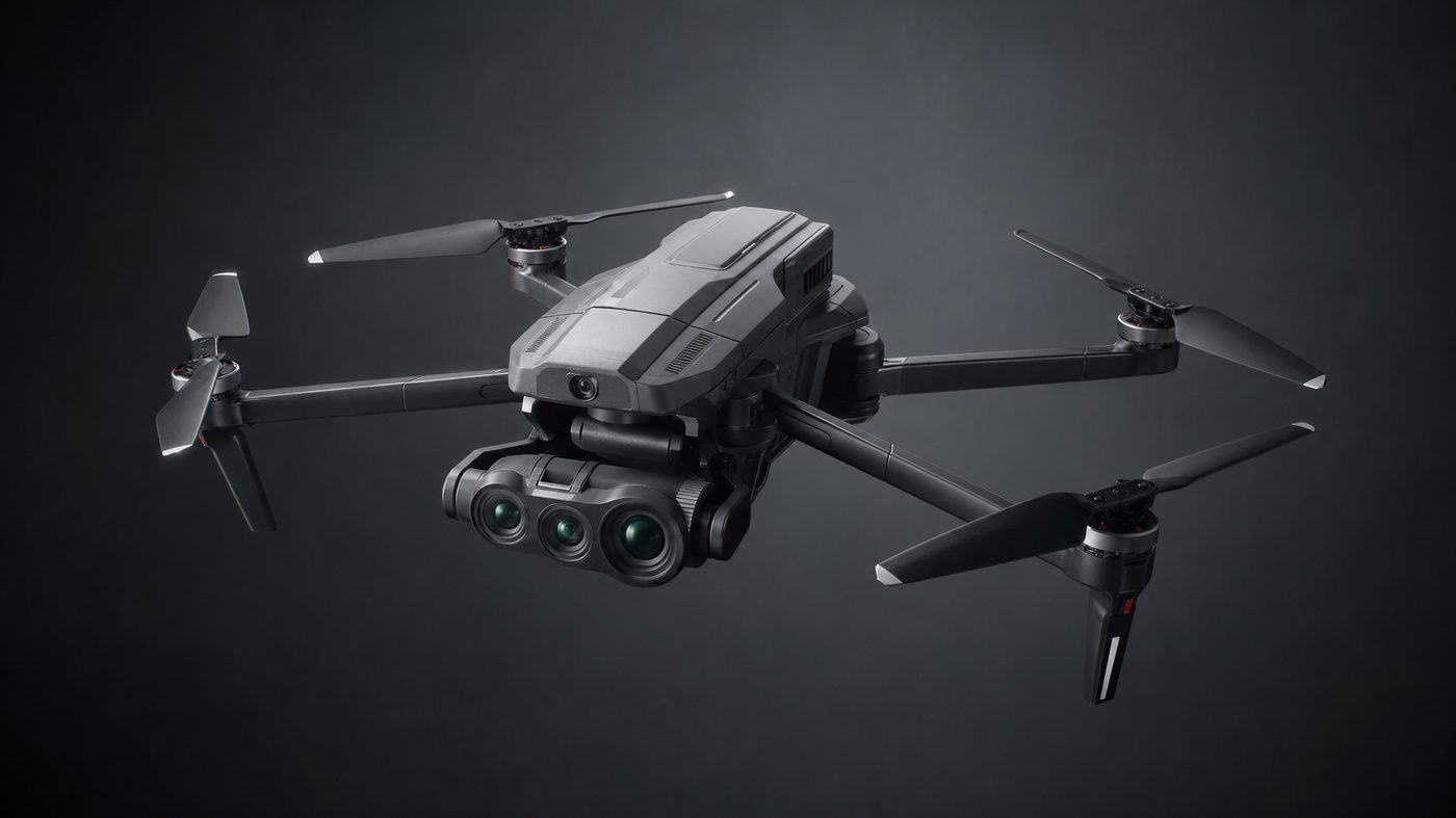
DJI Mavic 3 Pro
Triple-camera broadcast-grade cinematography with Hasselblad primary and dual tele lenses for versatile shot lists.
Best for
- Broadcast and documentary shot lists
- Telephoto compression shots
- Second camera on brand shoots
- Event coverage
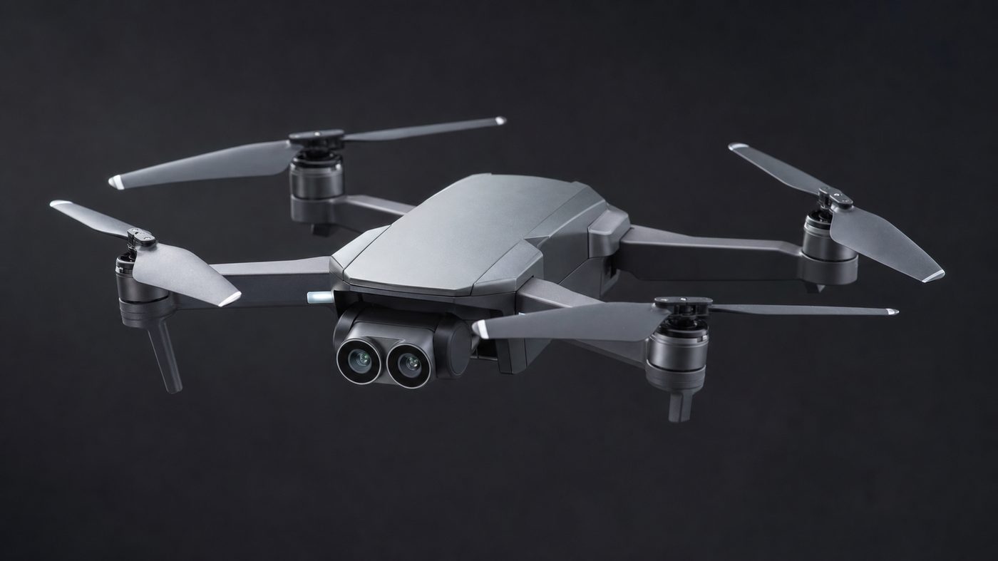
DJI Air 3S
Compact dual-camera aircraft for rapid urban shoots, listing reels, and light inspection work with minimal setup.
Best for
- Listing reels and quick urban shoots
- Light roof and facade checks
- Same-day proxy delivery
- Minimal setup sites
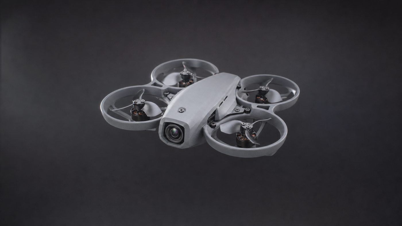
DJI Avata 2
Cinewhoop-class FPV platform for immersive dive shots, tight interiors, and dynamic reveal cinematography.
Best for
- Dive shots and dynamic reveals
- Tight interiors and fly-throughs
- High-energy brand content
- Immersive property walk-ins
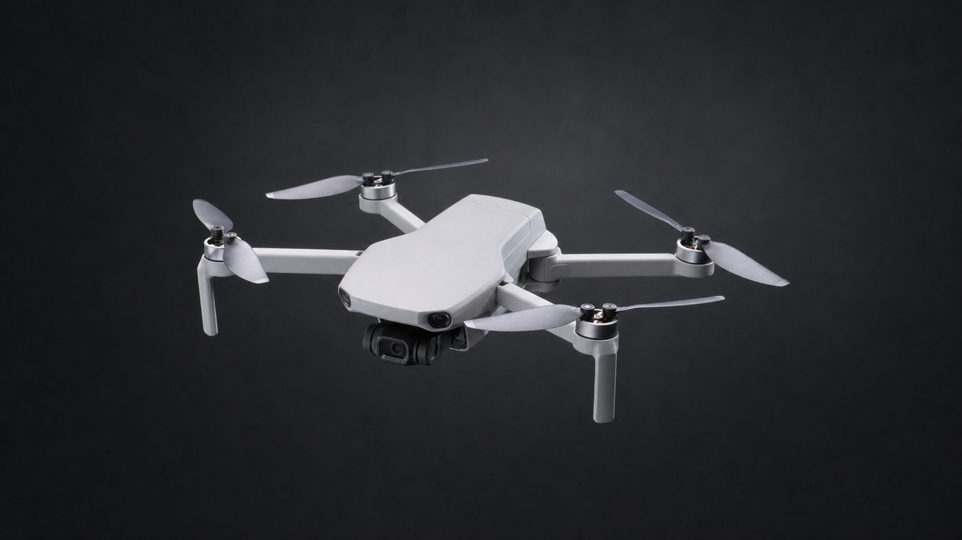
DJI Mini 5 Pro
Sub-250g flagship-quality drone for restricted-access sites, discreet operations, and rapid mobilization briefs.
Best for
- Restricted-access and discreet sites
- Rapid mobilization briefs
- Sub-250 g operating class
- Travel-light regional shoots
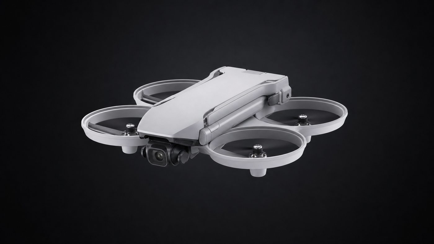
DJI Flip
Purpose-built compact aircraft for constrained interiors, close-in orbits, and creator-grade capture.
Best for
- Constrained interiors
- Close-in orbits of people and products
- Creator-grade social content
- Low-noise indoor capture
Flown every working day. Filed before the first rotor turns.
We fly that altitude with a trained Remote Pilot in Command on the sticks and a documented flight plan filed before the first rotor turns. We coordinate site and airspace permissions ahead of every shoot.
Max altitude · the decisive frame
Too high for a jib, too low for a helicopter — exactly where a drone lives.
DJI airframes, enterprise to cinema
Proxy gallery, same day
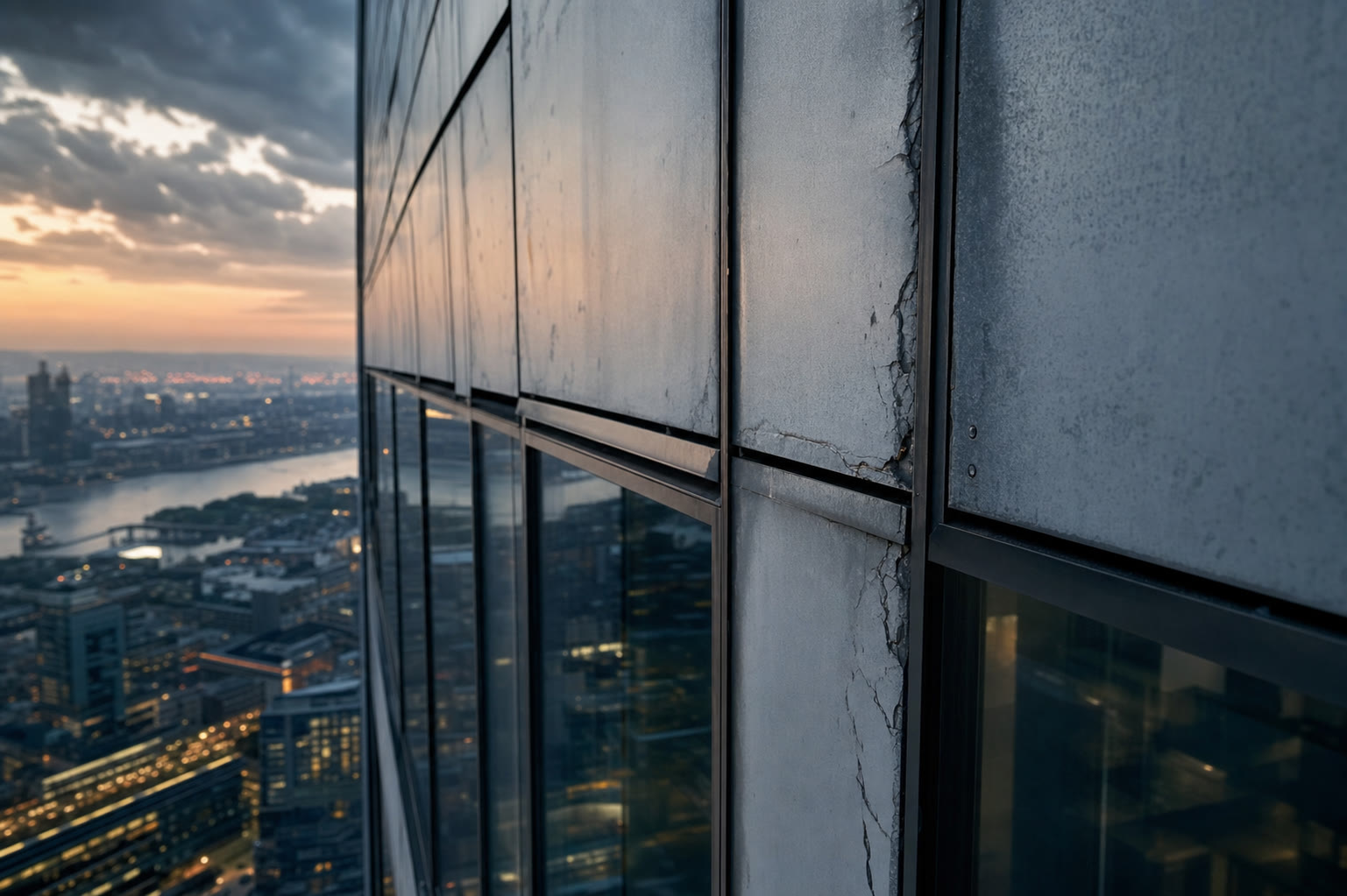
Stabilized gimbal · graded to your palette
Same-day proxies, final grade within the agreed window.
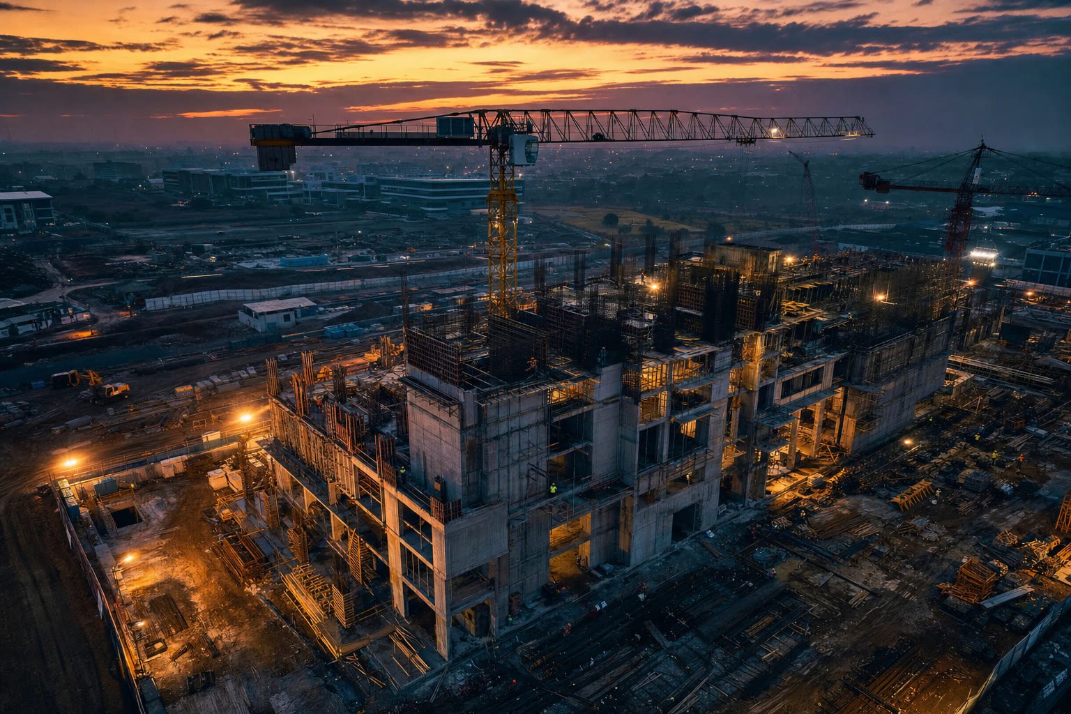
The angle a crane cannot hold
Altitudes from 30 to 160 meters — the angle a crane or jib physically cannot hold.
30–160 mBroadcast-grade capture
4K / 60fps capture on a stabilized gimbal, graded to your brand palette.
4K · 60 fps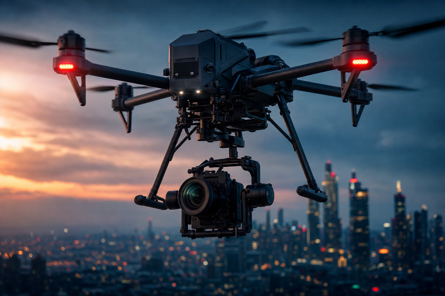
Airspace coordination
Site and airspace coordination handled ahead of every flight.
Documented flight planSame-day proxies
Same-day proxy delivery; final grade and reel within the agreed window.
Same-dayRTK survey precision
Orthomosaic, 3D terrain, contour, topographic and volumetric deliverables at RTK precision.
RTK GNSSRadiometric thermal
Thermal inspection for solar arrays, electrical assets, tower and facade heat loss, and industrial anomaly detection.
RadiometricSame shot list. A fraction of the cost and the wait.
Trained pilots. Documented flight plans.
Remote Pilot in Command
A trained Remote Pilot in Command on every flight, with a documented flight plan filed before takeoff.
Documented safety SOPs
Skyline Drones operates under documented safety SOPs on every flight.
Airspace & site coordination
Site access, property coordination, and any required local or airspace notifications are arranged in advance and included in the engagement.
Restricted airspace
Restricted airspace requires advance coordination with CAAP and, where applicable, the airport authority. We will not fly without proper clearance.
From brief to final delivery.
Pre-flight brief
Intent, shot list and brand references — or the inspection scope and the asset drawings.
Permit & airspace clearance
Site access, property coordination and any required airspace notifications arranged in advance.
On-site capture
Two to six hours on site with a trained Remote Pilot in Command and a documented flight plan.
Same-day proof gallery
Proxies delivered the same day so the client can select and brief the grade.
Final delivery
Graded reel, stills, orthomosaic or annotated inspection report within three to five business days.
Tell us the story. We'll find the angle.
Book a free 30-minute consultation — we scope the shot list, check airspace clearance, and give you a no-obligation quote against your current production cost.
Contact Us